What it does
Dune renders local map packs as an interactive equirectangular map or a 3D globe. Switch between imagery and colorized terrain, inspect elevation, use landmarks, and measure distance across a body.
 Research / Dune / 01
An offline planetary atlas for traversing the Moon and Mars. Explore global imagery and elevation, then move into regional detail from the same map.
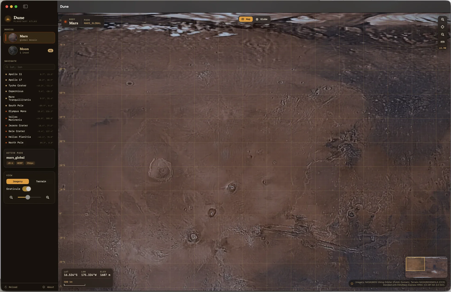
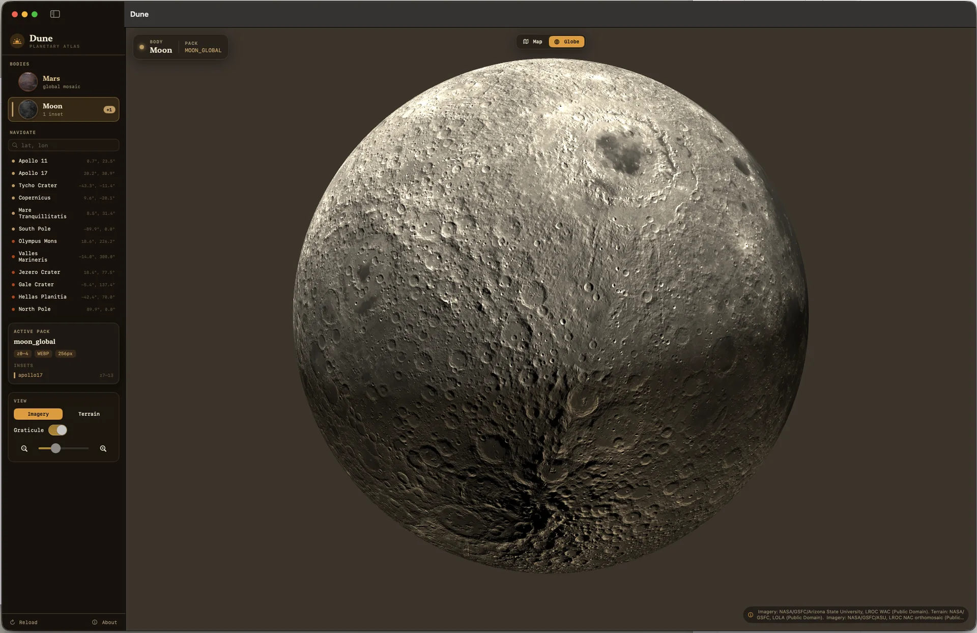
Dune renders local map packs as an interactive equirectangular map or a 3D globe. Switch between imagery and colorized terrain, inspect elevation, use landmarks, and measure distance across a body.
A companion ingest pipeline turns NASA, USGS, and ESA imagery and elevation products into portable MBTiles and JSON map packs. Current packs cover the Moon and Mars, including a high-resolution Apollo 17 inset at Taurus–Littrow.
The current project includes a SwiftUI macOS application and a Python map-pack pipeline. Global relief, local terrain colorization, and the Apollo 17 inset are implemented. Additional landing-site insets and a smaller streaming installer remain planned work.
Dune is a research application for planetary data exploration. The website describes the project; it does not offer a public installer or claim that every planned mapping feature is complete.